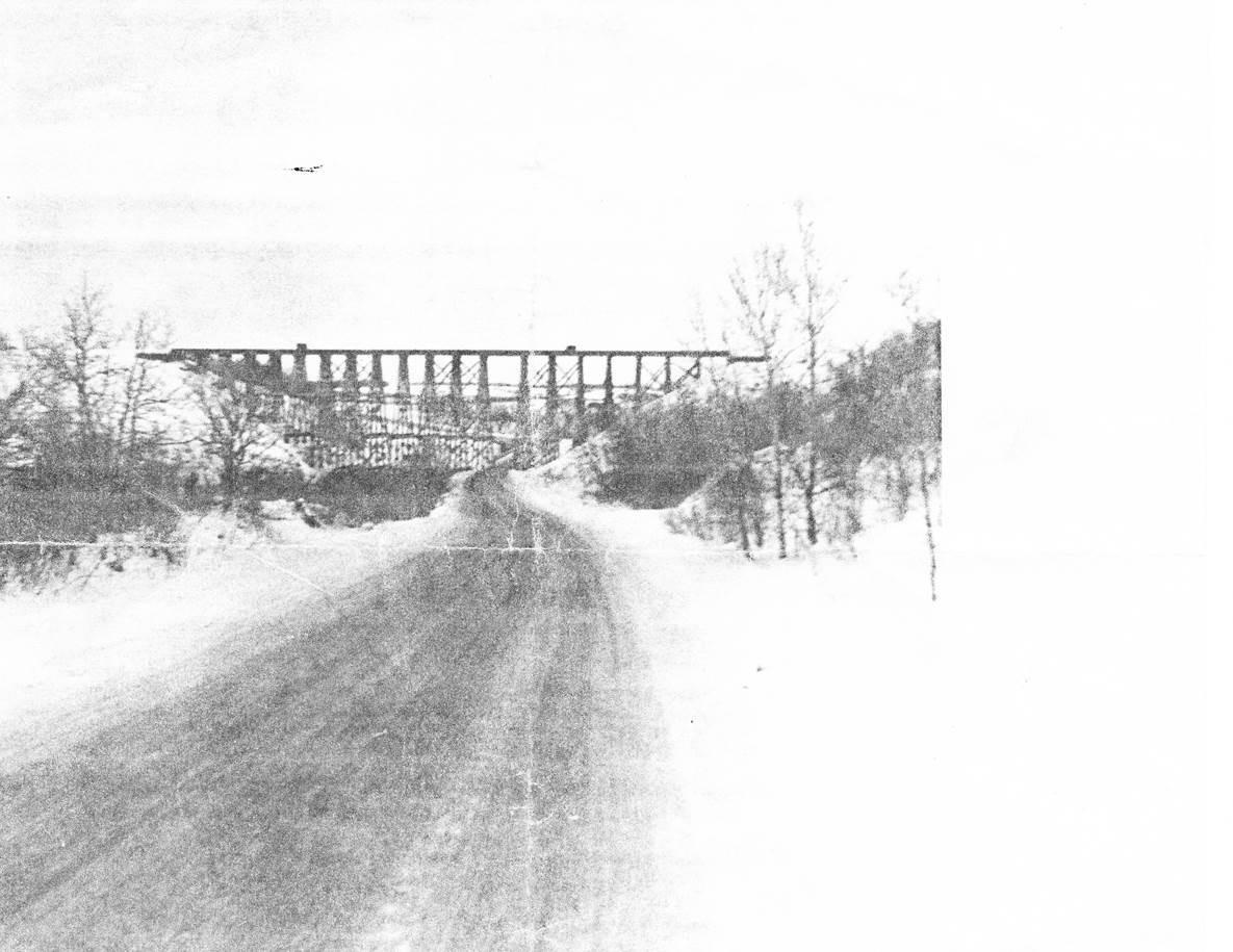
 1954/55, CPR Napinka Sub. Mile 21.1 in the winter. Photo of the second trestle built in 1923/24 with Archie McAlpin as foreman. The first bridge was built in 1885 and according to blueprint, was 745’ in length, and 80’ from the ‘low water’ surface. According to a decision made in 1900, 180’ of fill was put in on the W. end and 260’ of fill on the E. end of the bridge. Fill was taken from N.W. of the village. A temporary spur was built to haul the fill to the trestle ends. View – looking N.W. along provincial road No. 342. (Information – “Prairie Pride Land-Looking Back” The Louise History Book Committee, 1998) (Click on photo for detail) © Photos exclusive copyright of N. Froese.
358 The Napinka Subdivision, Mile 0 to Mile 49.
Leave a reply
