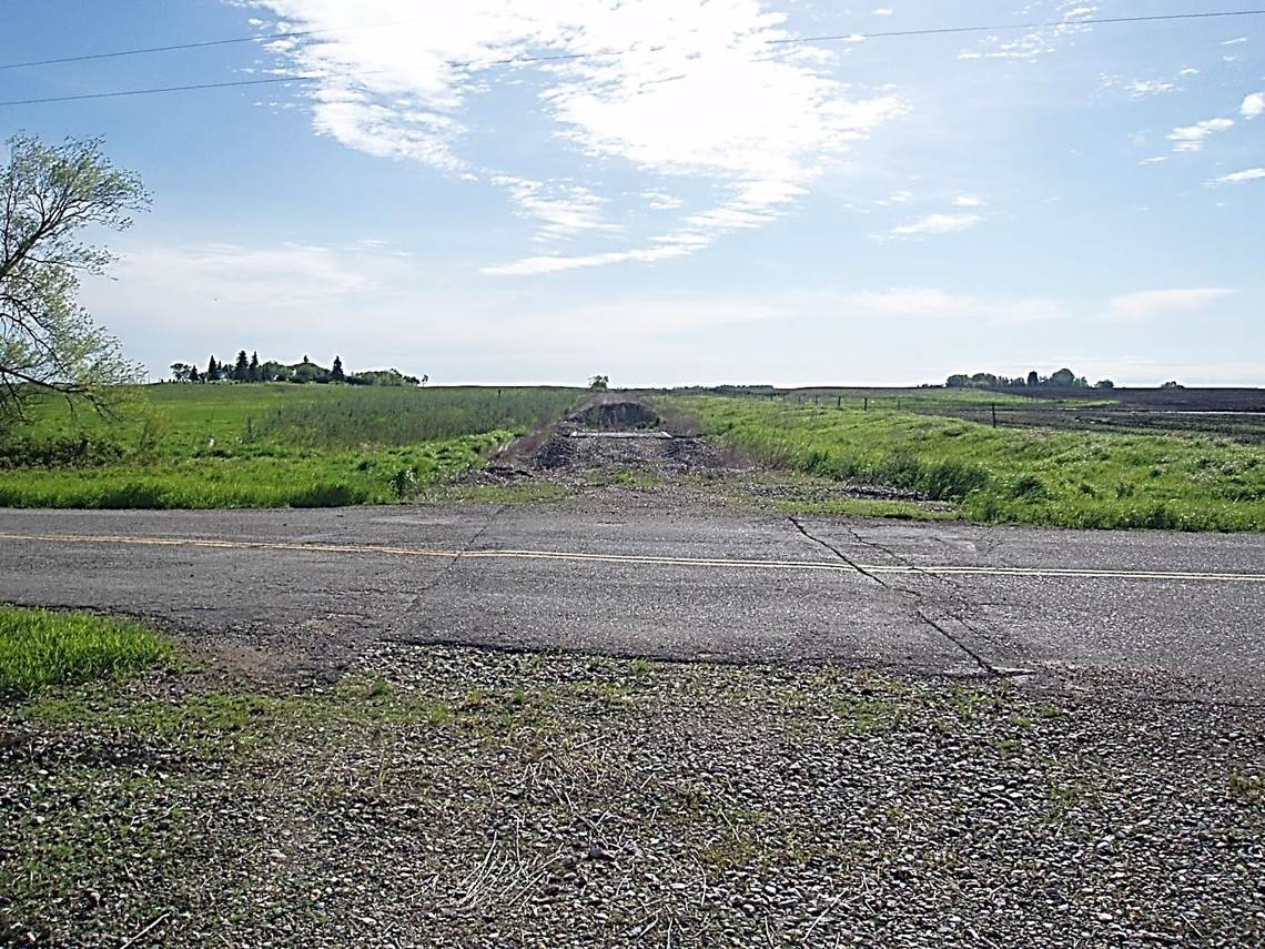
 2011/05, CPR/Napinka Sub. Mile 28. View looking back N.E. from Mather yard across provincial road No. 442. A view of the bridge at mile 28.5 with a pile of gravel on the far side to discourage motor vehicle traffic. Mather cemetery in the distance on the left. (Click on photo for detail) © Text and Photos exclusive copyright of N. Froese.
399 The Napinka Subdivision, Mile 0 to Mile 49.
Leave a reply
