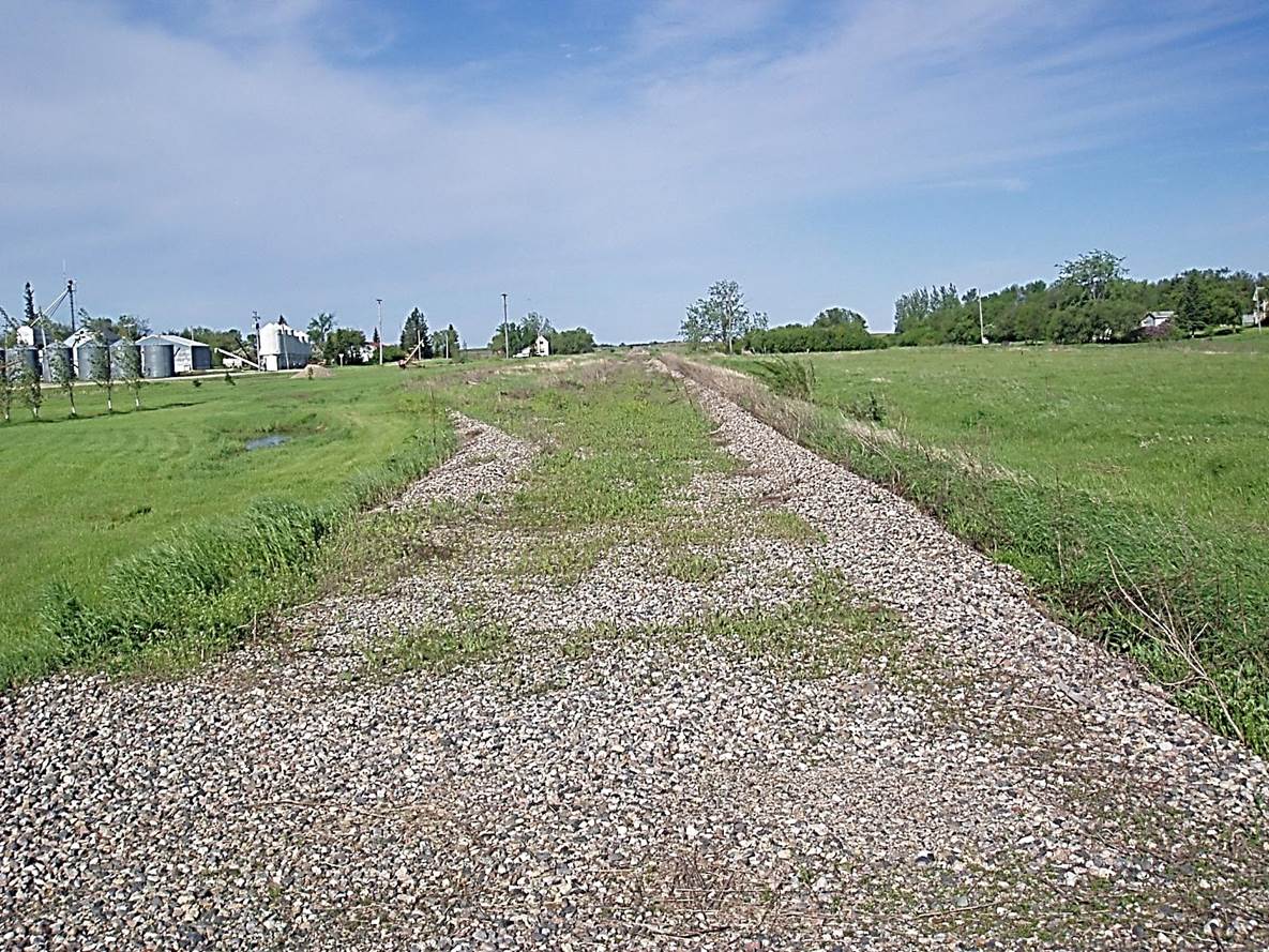
 2011/05, CPR/Napinka Sub. Mile 28, Former Mather yard. Gravel ridge on the right indicates main track location and gravel ridge on the left indicates the turnout to the siding. (Click on photo for detail) © Text and Photos exclusive copyright of N. Froese,Photo – N.F.
398 The Napinka Subdivision, Mile 0 to Mile 49.
Leave a reply
