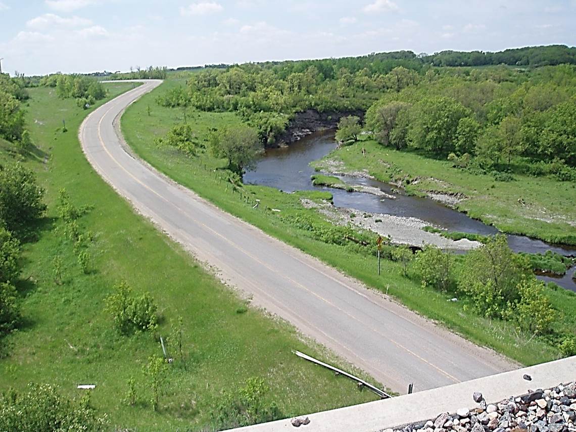
 2011/05, CPR/ Napinka Sub. Mile 21.1. Long River. View S. off the E. end of the Clearwater bridge with provincial road No. 342 ascending south to join Hwy. No. 3A. (Click on photo for detail) © Text and Photos exclusive copyright of N. Froese.
353 The Napinka Subdivision, Mile 0 to Mile 49.
Leave a reply
