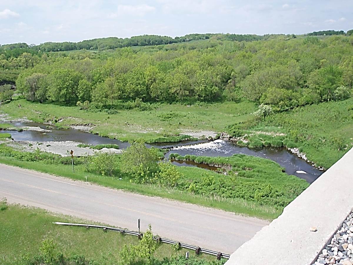
 2011/05, CPR/Napinka Sub. mile 21.1 on bridge E. of Clearwater, MB. View – looking S.W. down on Long River and provincial road No. 342. Notice water spilling over government dam due to significant rain. Water above the dam was the water source for early steam engines. Water would be pumped from here to the pump house and up the west escarpment into the water tower as previously pictured. (Click on photo for detail) © Text and Photos exclusive copyright of N. Froese.
352 The Napinka Subdivision, Mile 0 to Mile 49.
Leave a reply
