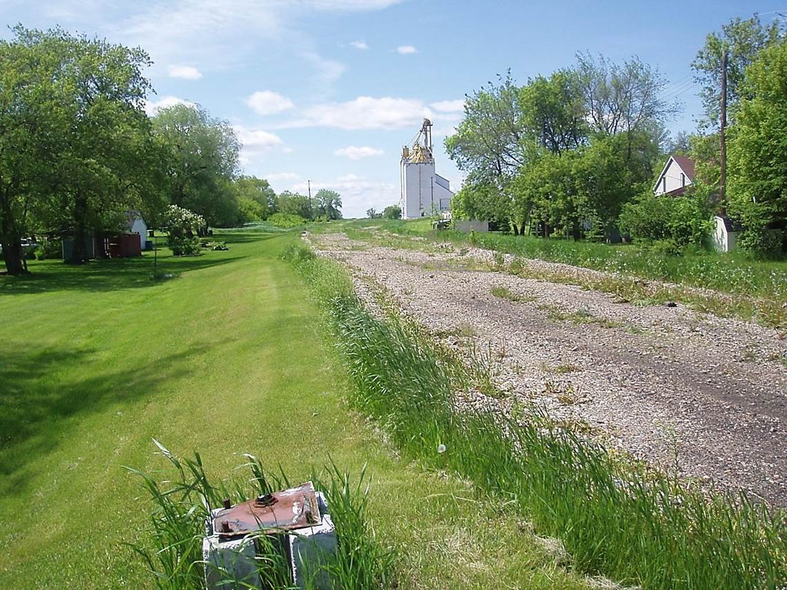
 2011/05 CPR/Napinka Sub. Mile 35, E. end of Cartwright yard, same location and view as in previous slide, looking W. What’s left? Only the grain elevator which is now beholden to only highway trucking. A Cartwright land-mark, the CPR section house, had been torn down in 1926. Discarded crossing signal box stand base in the foreground. Main track was to the left and the siding with switch stand was located further right. The siding is more obvious in the distance. Information source: Southern Manitoba Review Click on photo for detail. © Text and Photos exclusive copyright of N. Froese.
464 The Napinka Subdivision, Mile 0 to Mile 49
Leave a reply
