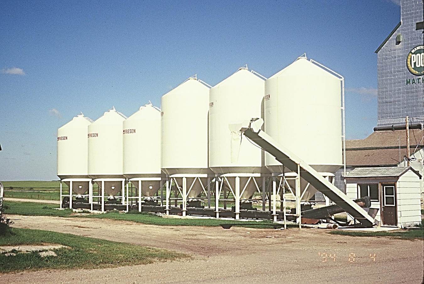
 1994/08, CPR/Napinka Sub. Mile 28. Close up of Mather. Manitoba Pool Elevator and “Harms Seeds” bins. View – looking N.W. from Vaughn Street. Railway visible on extreme left of bin row past gravel road. (Click on photo for detail) © Text and Photos exclusive copyright of N. Froese.
408 The Napinka Subdivision, Mile 0 to Mile 49
Leave a reply
