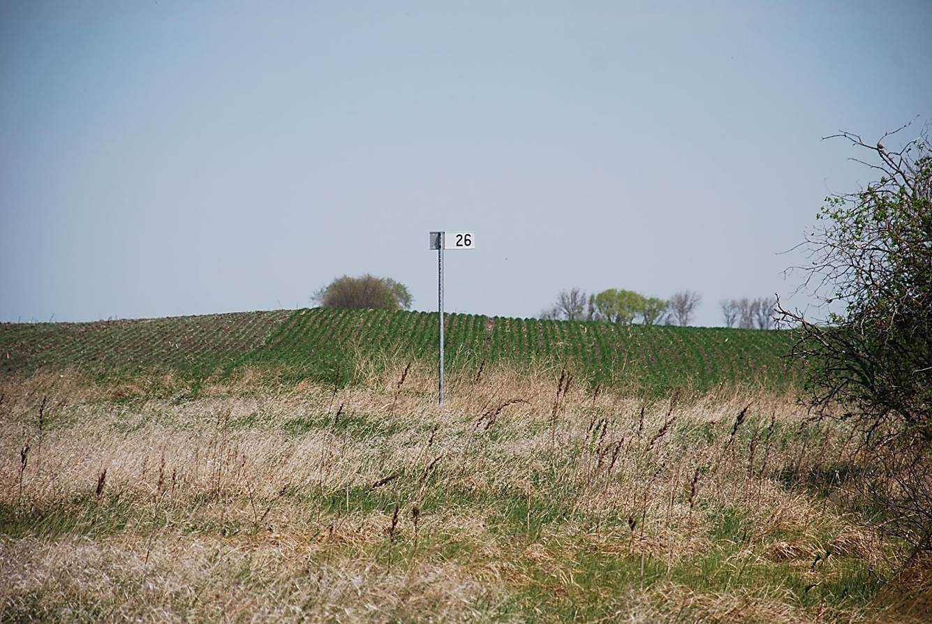
 2012/05, CPR/Napinka Sub. Mile 26. View – looking N. This sign has been placed into a farmer’s field adjacent to its original location. The rail bed which runs N.E. to S.W. (transverse across the horizontal axis of the picture) is approximately 50 m behind the photographer. (Click on photo for detail) © Text and Photos exclusive copyright of N. Froese, Author.
389 The Napinka Subdivision, Mile 0 to Mile 49.
Leave a reply
