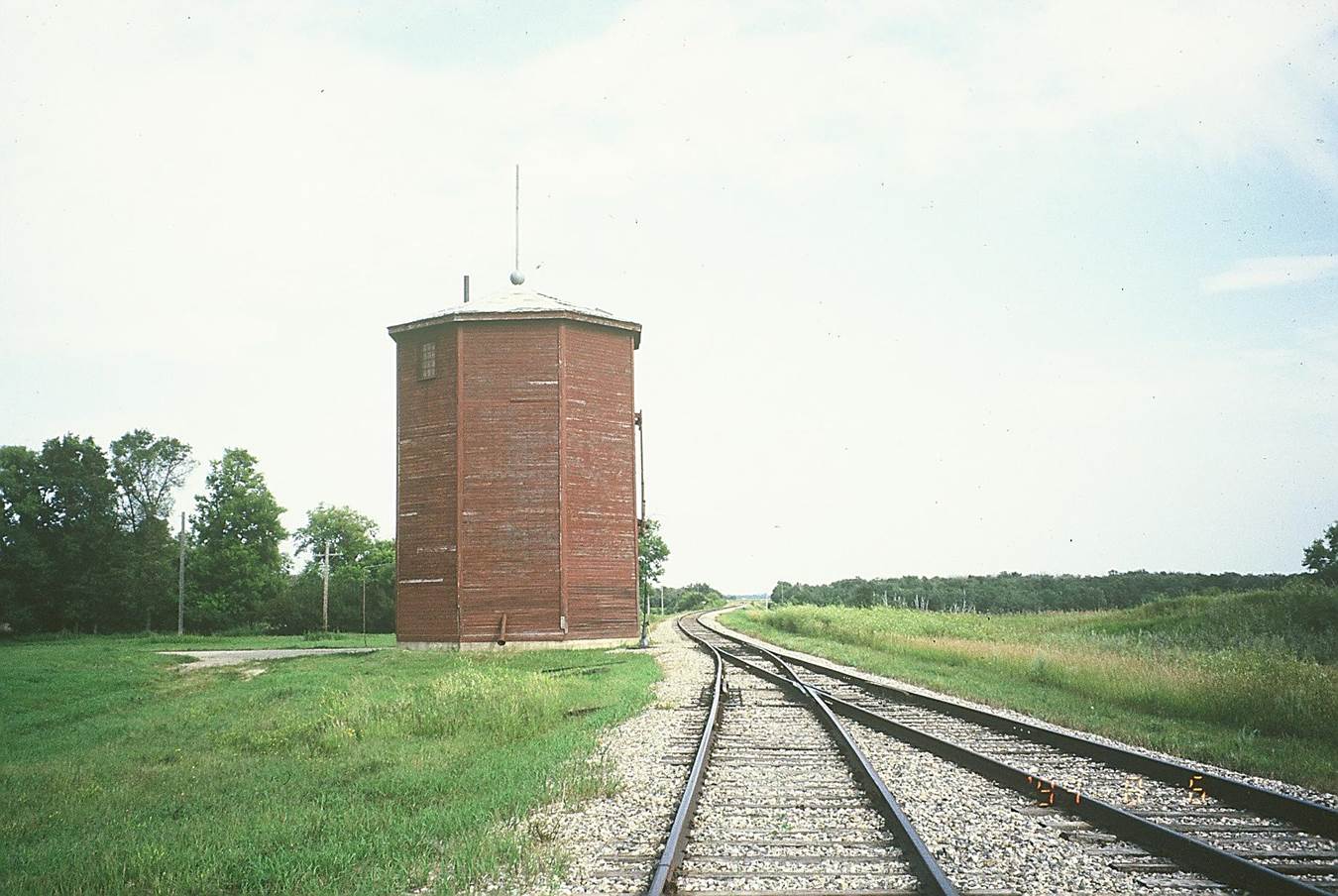
 1994/08, CPR/Napinka Sub. Mile 21. The water tower at Clearwater, MB, which is used for the village water supply. According to this photo the station would have been on the main track behind the water tower. The switch points start adjacent to the water tower instead of further east as in previous photo. View – looking E. towards the bridge across Long River. Photo taken with a Minolta 70 – 210 mm telephoto zoom lens. (Click on photo for detail) © Text and Photos exclusive copyright of N. Froese, Author.
363 The Napinka Subdivision, Mile 0 to Mile 49.
Leave a reply
