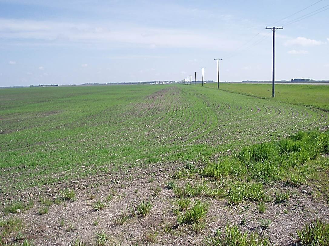
 2011/05, CPR/Napinka Sub. mile 15. “Where The Rail Line Once Was.” This section was completed in 1886 (History Book, Turning Leaves , La Riviere Historical Book Society, 1979 ), and salvaged in 2008. Accordingly, the line lasted for 122 years. View – looking N.E. back towards Pilot Mound with the former rail bed in centre of photo left of hydro line. Provincial Hwy. No. 3 on the upper right. (Click on photo for detail) © Text and Photos exclusive copyright of N. Froese.
324 The Napinka Subdivision, Mile 0 to Mile 49.
Leave a reply
