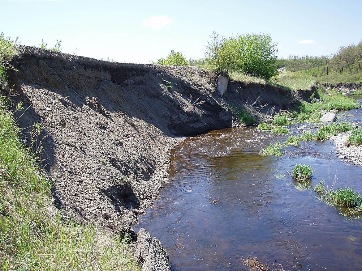
 2011/05, BTRC/former CPR mile 106, looking S.W. along the rail bed on upper left of photo, – bank erosion from the N. side by Mary Jane Creek. (Click on photo for enlargement) © Text and Photos exclusive copyright of N. Froese,
162 The La Riviere Subdivision, Manitou Mile 100 to La Riviere Mile 111
Leave a reply
