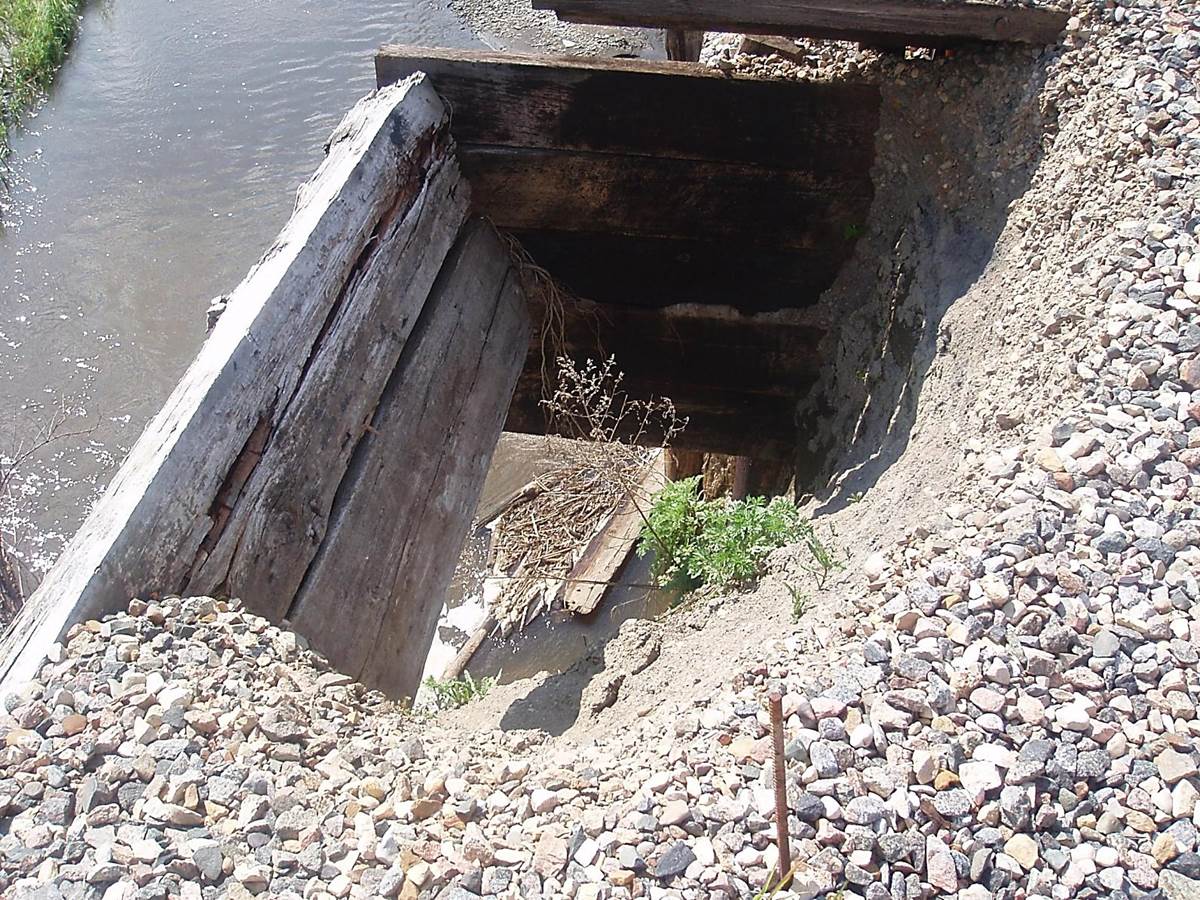
 2011/05, CPR mile 3.3 trestle. Close up view of bank erosion at S.E. end. (Click on photo for detail) © Text and Photos exclusive copyright of N. Froese.
270 The Napinka Subdivision, Mile 0 to Mile 49.
Leave a reply
2011/05, CPR mile 3.3 trestle. Close up view of bank erosion at S.E. end. (Click on photo for detail) © Text and Photos exclusive copyright of N. Froese.
